Our stations
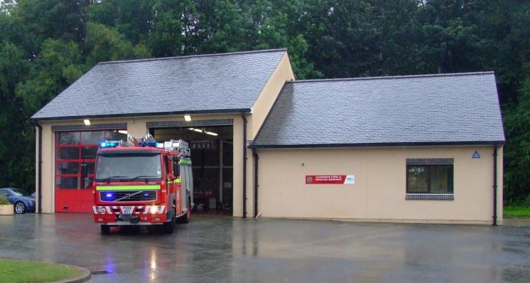
Cockermouth Fire Station
Cockermouth Fire Station
Station Road
Cockermouth
CA13 9PR
United Kingdom
Tel
0300 303 8623
Station type
On-call
Cockermouth fire station is staffed by On-call Firefighters and houses one fire engine and a Welfare vehicle.
Cockermouth firefighters deal with a variety of incidents including road traffic collisions as the main risks associated in the area are the busy A66 and A596. They also deal with agricultural fires such as barn fires, wildfires as well livestock rescues. With lakes and rivers within the station area, the potential for water rescue incidents is high; firefighters are trained as water first responders.
Drill night
Monday 1800 hrs
Area
Cumberland