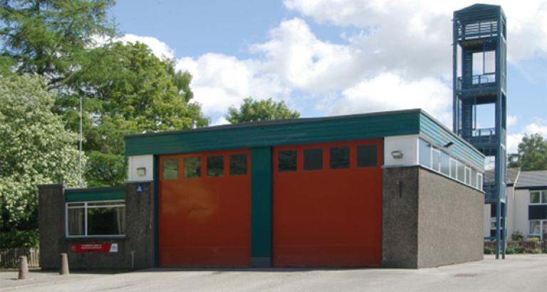
The area contains:
-
5 Heritage Sites; Castle Rigg Stone Castle, Derwent Island House, Mire House, Force Crag Mine, Threlkeld Settlement
-
There is 1 Grade I listed building and 7 Grade II listed buildings
-
4 Special Areas of Conservation and 32 Sites of Specific Scientific Interest
-
Derwent Isle is a Site Specific Risk
-
Flood Risk: The Town has been affected by severe floods over recent years and the Environment Agency and United Utilities have invested heavily to provide engineered solutions to the flooding problems. However flooding from surface water remains a risk to some areas of the town. Keswick is situated on the River Greta, immediately upstream of its confluence with the River Derwent. The Flood Warning area covers approximately 2.48 Km2 and includes low lying property, parkland and campsite between Low Briery on the River Greta to where the River Derwent enters Derwentwater Lake. There are approximately 800 properties at risk with major flooding occurring in 1954, 1985, 2004, 2005 and 2009, and minor events every few years in between.
The town of Keswick lies in the heart of the Lake District and is very popular with holiday makers and people coming for long weekends. The influx of tourists often increases the town's population threefold at the height of the season, filling many of the hotels and guest houses, significantly increasing the sleeping risk.
The main risks are associated with residential properties, hotels, guest houses and other types of holiday accommodation. However, other risks include large volumes of traffic on the predominantly 'B' type roads and the busy Penrith to Workington A66, which increases the potential for road traffic collisions. Open farmland brings the danger of barn and heath fires, in addition to other farm incidents, such as livestock rescues.
With three major lakes within the station area, the potential for water rescue incidents is high, as is the possibility of flooding which has resulted in some significant rescue operations in recent years.

